
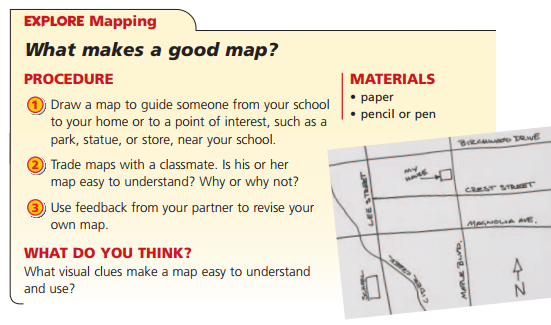
1. MAPS
Maps are drawings that uses lines, symbols and colours to represent countries, landscapes and features, such us roads, parks and buildings. The science of making maps is called cartography.
a. Characteristics of maps:
- Features and objects on maps are represented using symbols. The meaning of these symbols is explained in a key or map leyend (leyenda).
- Maps inlude a compass rose (rosa de los vientos) thar shows cardinal directions: north, south, east, and west. In general, north on a map points
to the top of the page.
- Maps have a scale. A scale shows the relationship between the distances on the map and the actual distances on the Earth.
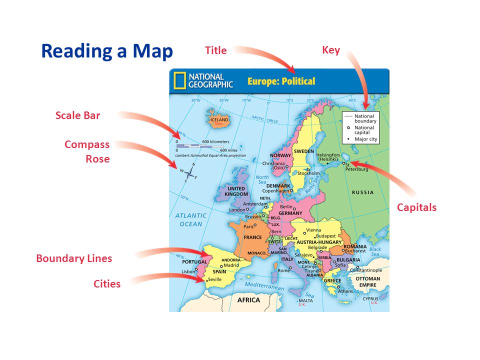
b. Types of maps
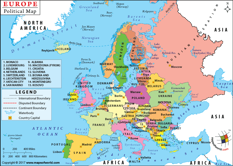
- Political maps show countries, their borders and capital cities.

- Physical maps show physical features, such as mountains, plains and rivers.


- Weather maps show cloud cover, rainfall and temperatures.

c. World maps
World maps represent the complete surface of the Earth on a flat map.
World maps represent the complete surface of the Earth on a flat map.

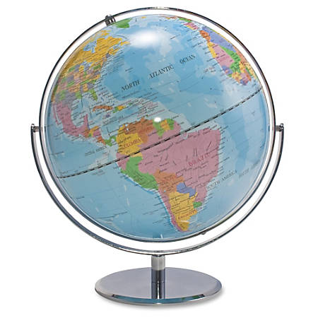
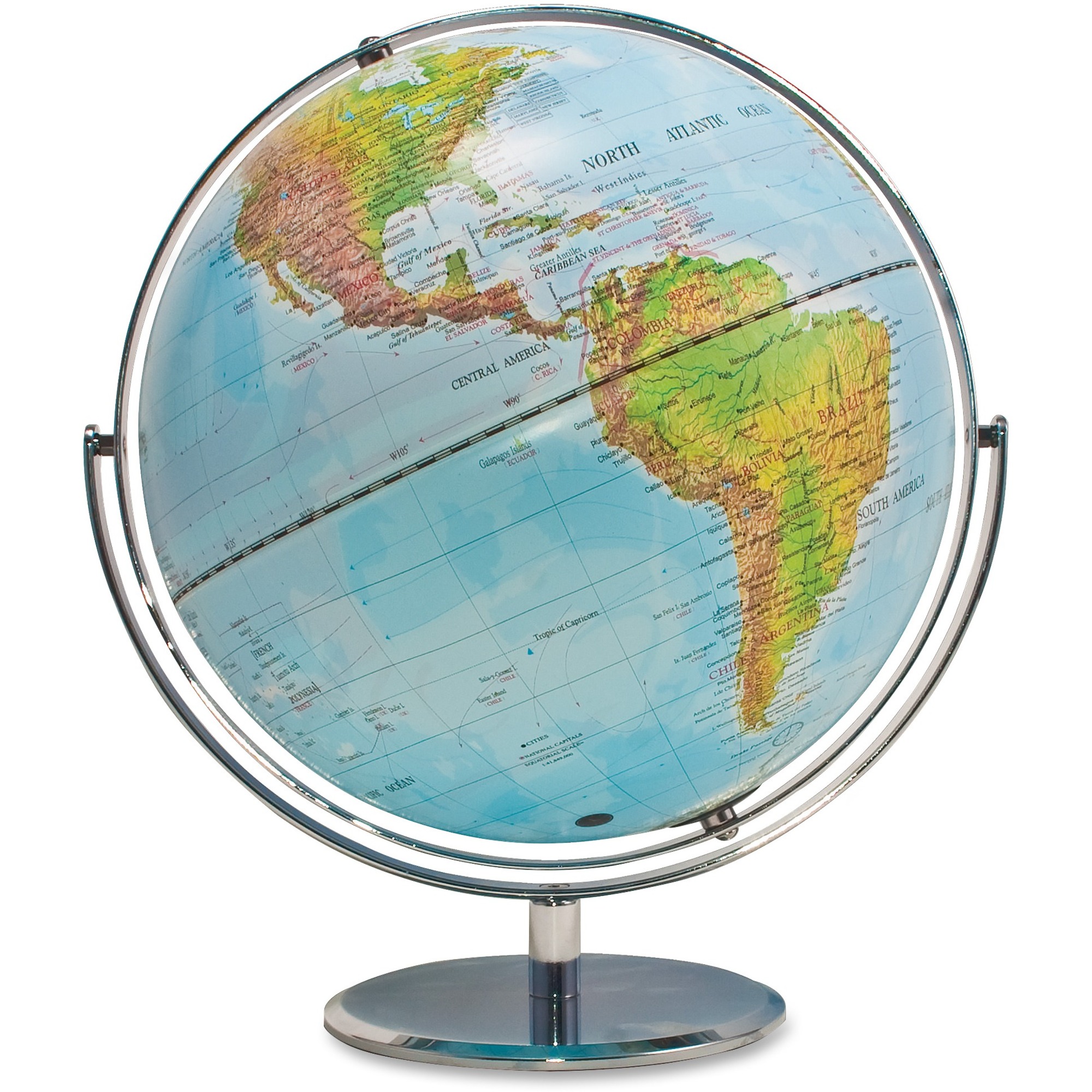
2. WORLD GLOBES
Globes are more accurate than maps for representing the Earth because they are three-dimensional like the Earth itself. Once you try to reproducethe surface of the Earth on a flat map, the sizes and shapes get distorted. Some countries appear larger than they really are.
A political word globe A physical world globe
3. GEOGRAPHIC COORDINATES.
To describe geographical locations on Earth, we use a system of imaginary lines called parallels and meridians.
- Parallels are circular lines that go around the Earth from east to west. The longest parallel, the Equator, divides the Earth into the Northern Hemisphere and the Southern Hemisphere.
- Meridians are circular lines that go from north to south and pass through the poles. Meridians are the same length. The Prime Meridian, also called the Greenwich Meridian, divides the Earth into the Eastern Hemisphere and the Western Hemisphere.

The parallels and meridians form a grid that we use to measure the geographic coordinates of different places. Latitude is the distance in degrees from the Equator (0º). The points north from the Equator are northern latitudes (N) The points south from the Equator are southern latitudes (S). The North Pole is at 90°N.The South Pole is at 90º S.
Longitude is the distance in degrees from the Prime Meridian (0º). The points east from the Prime Meridian are eastern longitudes (E). The points west from the Prime Meridian are western longitudes (W).

The latitude of Madrid is 40°N. The longitude of Madrid is 3ºW. The geographicoordinates of Madrid are 40°N, 3ºW.

Activities:
Activity1. : Wich country do you find at those coordinates?Activity 2: Get the GPS Coordinates for your city, Madrid and your favourite place in the world.
Activity 3: Make a Mind Map of this unit.
Activity 4: Do Edpuzzle activity.
* Rúbrica para el mapa conceptual:

Great blog you people have maintained there, I totally appreciate the work.
ResponderEliminarBuy Flat Earth Map